The Eye Nobody Expected
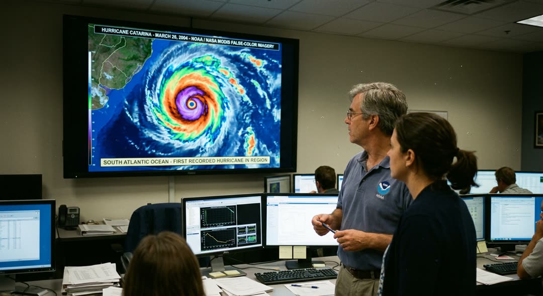
A sharp eye, white and hollow, staring up from an ocean that wasn’t supposed to produce one. On March 26, 2004, the MODIS instrument aboard NASA’s Terra satellite photographed a textbook hurricane swirling through the South Atlantic. Thirty years of geostationary satellite imagery had never recorded anything like it.
High in the atmosphere, a low-pressure cell had broken free from the jet stream at five hundred millibars and gone still over open water. A stationary high anchored off the African coast blocked its escape, and a conveyor belt of tropical moisture streamed southeastward from the Brazilian interior, feeding the circulation below. Satellite estimates put the winds at Category 2 strength as the storm closed on the coast of southern Brazil. A weather station well inland, sitting at higher altitude, clocked gusts of roughly eighty-five miles per hour.
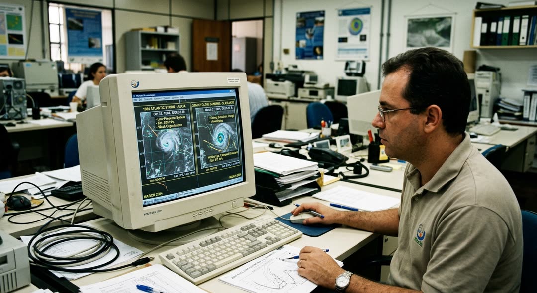
The South Atlantic had no playbook for this. Greg Holland, who headed NCAR’s Mesoscale and Microscale Meteorology Division, had spent years studying lower-latitude cyclones in Australian waters, but even his experience offered no direct analogue for a hurricane at twenty-eight degrees south in a basin where the textbooks said one could not form. Lance Bosart, a professor at the University at Albany, began pulling apart the upper-level dynamics as soon as the satellite images circulated, and his team’s search through three decades of reanalysis data turned up only six cases when a comparable blocking pattern had persisted for more than five days. One of them, in March 1994, had produced a weaker system with a similar structure, but it stayed far offshore over cooler water and never threatened land.
Pedro Leite da Silva Dias, a modeler at the University of São Paulo, flagged a detail that sat uneasily alongside the tropical machinery visible in the satellite loops: January and February 2004 had been the coldest in twenty-five years across southern Brazil. The air feeding the storm was much colder than normal. Jack Beven, a meteorologist at NOAA’s National Hurricane Center in Miami, had already contacted Brazil’s navy with his concerns before the system made its final turn toward the coast.
At 06Z on March 27, less than twenty-four hours before the storm reached shore, infrared imagery showed a visible eye and radar picked up strong thunderstorms on the southern flank of the center, consistent with an eyewall. The transition was complete. What had begun as a baroclinic system driven by horizontal temperature contrasts was now, by every measurable standard, a hurricane.
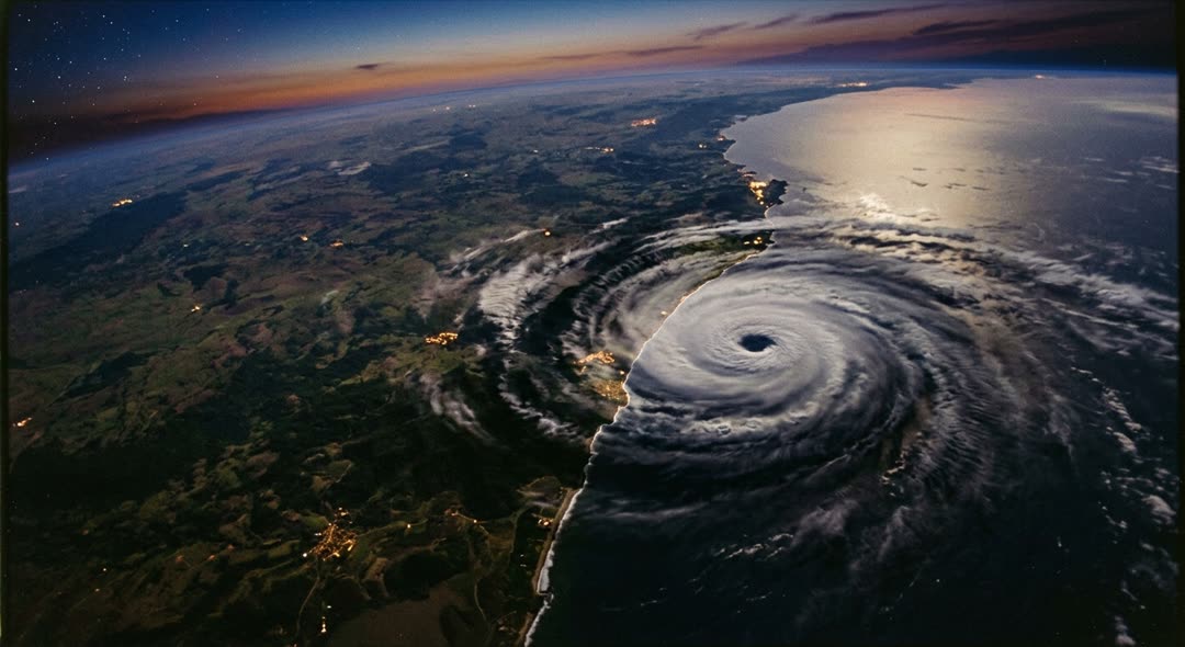
It came ashore on March 28, 2004, between Passo de Torres and Balneário Gaivota in the state of Santa Catarina, roughly five hundred miles south of Rio de Janeiro. Naval meteorologists had already notified Santa Catarina’s civil defense unit and the regional weather center, and coastal residents were evacuated in time. Twenty-two of the state’s 293 municipalities reported direct damage. More than 35,000 dwellings were damaged, and roughly 1,500 were destroyed. At least three people died. The storm was named Catarina after the state where it came ashore, posthumously, because no naming convention had ever existed for this ocean.
On March 26, 2004, a NASA satellite called Terra took a photograph of the South Atlantic Ocean. It showed a large spinning storm. In thirty years of satellite pictures, no one had ever seen a hurricane in this ocean.
High in the atmosphere, a pocket of low pressure had separated from the jet stream. It stopped moving over the open water. A large area of high pressure near the African coast blocked its path. Warm, wet air from the Brazilian interior flowed into the storm and made it stronger. Satellite measurements showed winds at Category 2 strength. A weather station further inland recorded gusts of about eighty-five miles per hour.
The South Atlantic had no plan for a hurricane. Greg Holland led the Mesoscale and Microscale Meteorology Division at NCAR. He had studied tropical storms in Australian waters for years, but he had never seen anything like this so far south. Lance Bosart, a professor at the University at Albany, studied the upper-level weather patterns. His team looked through thirty years of weather data. They found only six times when a similar blocking pattern had lasted more than five days. One case, in March 1994, created a weaker storm with a similar shape. But that storm stayed far out at sea over cooler water and never reached land.
Pedro Leite da Silva Dias, a scientist at the University of São Paulo, noticed something unusual. January and February 2004 had been the coldest months in twenty-five years across southern Brazil. The air feeding the storm was much colder than normal. Jack Beven, a meteorologist at NOAA’s National Hurricane Center in Miami, contacted Brazil’s navy before the storm turned toward the coast.
At 06Z on March 27, satellite images showed a visible eye for the first time. Radar also detected strong thunderstorms near the center of the storm. The change was complete. The system had started as a storm driven by temperature differences. Now it was a hurricane by every measurement.
The storm came ashore on March 28, 2004, near Passo de Torres in the state of Santa Catarina. This was about five hundred miles south of Rio de Janeiro. Naval meteorologists had already warned Santa Catarina’s civil defense unit and the local weather center. Coastal residents were moved to safety in time. Twenty-two of the state’s 293 municipalities reported damage. More than 35,000 homes were damaged. About 1,500 homes were destroyed. At least three people died. The storm was named Catarina, after the state of Santa Catarina. This name was given after the storm ended, because no naming system had ever existed for this ocean.
Words to learn
Sentence patterns
What had begun as a baroclinic system driven by horizontal temperature contrasts was now, by every measurable standard, a hurricane.What had started as a weekend hobby was now, by any reasonable measure, a full-time career.
A stationary high anchored off the African coast blocked its escape, and a conveyor belt of tropical moisture streamed southeastward from the Brazilian interior, feeding the circulation below.The upstream dam held the main current back, and meltwater from the hills carved a new channel westward, flooding the lower pastures.
Thirty years of geostationary satellite imagery had never recorded anything like it.Twelve seasons of league football had never produced anything like it.
Satellite measurements showed winds at Category 2 strength.The investigation revealed serious damage to the bridge.
Jack Beven contacted Brazil’s navy before the storm turned toward the coast.The firefighters arrived before the fire reached the second floor.
Coastal residents were moved to safety in time.The damaged buildings were checked by engineers the next morning.
Discussion questions
- The article describes how meteorologists from different countries — the United States, Brazil — shared warnings before the storm reached shore. How well do you think international cooperation works during weather emergencies, and what could make it better?
- Catarina struck a region that had no naming system and no established procedures for hurricanes. If a completely new type of natural disaster appeared in your area tomorrow, how prepared do you think local authorities would be, and what would you expect to go wrong first?
- Only three deaths were recorded despite more than 35,000 dwellings being damaged. What factors described in the story helped keep the death toll low, and do you think similar results would be possible in a less-warned community?
- Do you think people in southern Brazil expected a hurricane? Why or why not?
- Only three people died because people were moved to safety early. Why do you think early warnings are so important during storms?
- Would you feel safe living near the coast after an event like this? Why or why not?